
Mount Everest
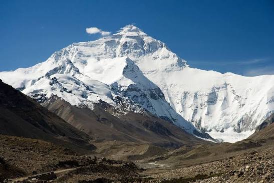
Mount Everest, known in Tibetan as Chomolungma and in Nepali as Sagarmatha, rises to 8,848.86 m on the frontier between China's Tibet Autonomous Region and Nepal, its north slope in Tingri County and its south slope in Nepal's Solukhumbu District. It is the highest mountain on Earth, long called the third pole. The massif takes the form of a vast pyramid; its snow line lies at roughly 5,800–6,200 m on the north side and 5,500–6,100 m on the south, and more than five hundred continental glaciers descend from its flanks. As the Indian and Eurasian plates keep converging, the summit is still rising by about 1.27 cm each year. Edmund Hillary and the Nepali guide Tenzing Norgay made the first confirmed ascent on 29 May 1953. China established the Qomolangma National Nature Preserve in 1988.
- Region
- Tibet, China · Solukhumbu, Nepal
- Model area
- ≈ 233 km²