Jiuling Mountains 3D Terrain Model
Forested range in north-western Jiangxi, peaking at about 1794 m. Export the Jiuling Mountains as a printable STL, OBJ, DAE or Rhino 3DM file for free.
- Coverage
- Jiangxi, China
- Coordinates
- 28.85°N 114.96°E
- Model area
- ≈ 287 km²
- Formats
- STL · OBJ · DAE · 3DM
- Resolution
- 30 m
© OpenFreeMap · © OpenStreetMap
About this place
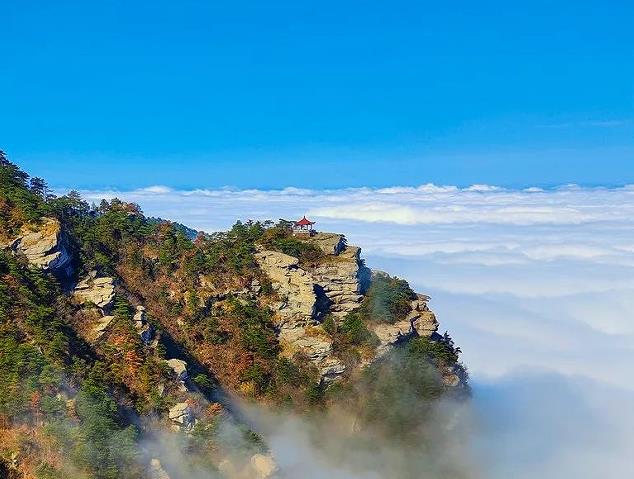
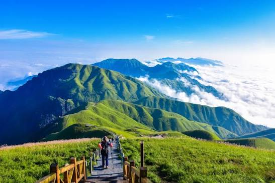
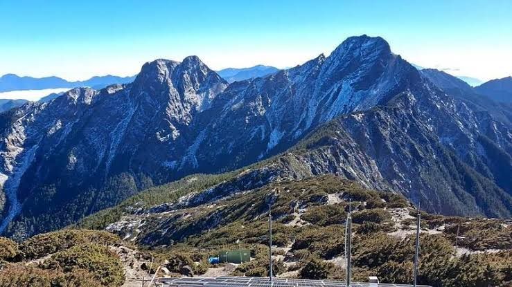
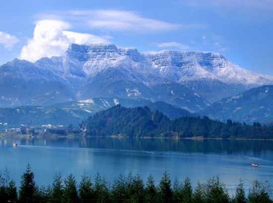
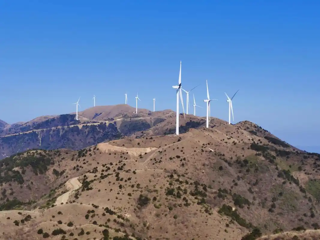
The Jiuling Mountains are a range in north-western Jiangxi, China, running roughly north-east to south-west and forming the divide between the Xiu River and the Liao River, whose waters ultimately reach Poyang Lake, the largest freshwater lake in the country. The Chinese name means 'nine ridges'. The range's highest point, Jiuling Peak, rises to about 1,794 m and spans the counties of Jing'an, Fengxin, Tonggu, Xiushui and Wuning. Its slopes carry extensive subtropical evergreen broad-leaved forest and rich biodiversity, and the area is now protected as the Jiangxi Jiulingshan National Nature Reserve, valued as an ecological barrier and water-conservation zone for the province.
How to use
For hiking & outdoor
Use the 3D view to read ridgelines, relief and the overall shape of the terrain before a trip. It is a static elevation model for reference only; it is not live navigation, routing or safety guidance.
For 3D printing
Download the model as STL, OBJ, DAE or Rhino 3DM and open it in your slicer or CAD tool. Files carry terrain geometry only; printability, scale and mesh quality depend on how you slice them and are not guaranteed here.