Kangchenjunga 3D Terrain Model
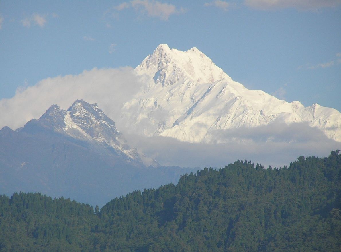
Kangchenjunga on the Nepal–Sikkim border, at 8,586 m the third-highest mountain in the world. Export it as a printable STL, OBJ, DAE or Rhino 3DM file for free.
- Coverage
- Nepal / India (Sikkim) border
- Coordinates
- 27.68°N 88.14°E
- Model area
- ≈ 686 km²
- Formats
- STL · OBJ · DAE · 3DM
- Resolution
- 30 m
© OpenFreeMap · © OpenStreetMap
About this place
Kangchenjunga, at 8,586 m the third-highest mountain in the world, stands on the border between eastern Nepal and the Indian state of Sikkim. Its name means "Five Treasures of Snow", after the five summits of the massif — Kangchenjunga Main, West, Central, South and Kangbachen — the highest of which was first climbed in 1955 by Joe Brown and George Band. Because the mountain is sacred to the people of Sikkim and Nepal, that expedition honoured a promise to its hosts and stopped a few steps short of the true summit; almost every team since has done the same. Remote and storm-battered by the monsoon, Kangchenjunga is often called the hardest of the eight-thousanders to see, let alone climb: it rears above the immense Zemu Glacier and Yalung Kang, and its flanks feed some of the deepest valleys in the Himalaya. The surrounding landscapes are protected on both sides of the border — Nepal's Kangchenjunga Conservation Area and Sikkim's Khangchendzonga National Park, a UNESCO mixed World Heritage Site inscribed in 2016.
How to use
For hiking & outdoor
Use the 3D view to read ridgelines, relief and the overall shape of the terrain before a trip. It is a static elevation model for reference only; it is not live navigation, routing or safety guidance.
For 3D printing
Download the model as STL, OBJ, DAE or Rhino 3DM and open it in your slicer or CAD tool. Files carry terrain geometry only; printability, scale and mesh quality depend on how you slice them and are not guaranteed here.