Mount Kinabalu 3D Terrain Model
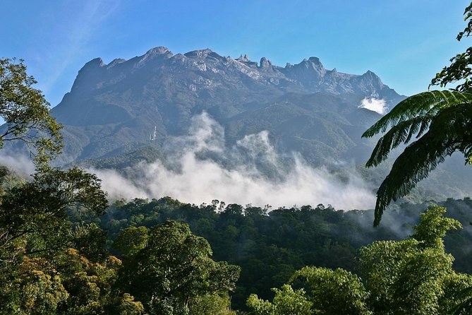
Mount Kinabalu in Sabah, Borneo, Malaysia, a 4,095 m granite summit in Kinabalu Park. Export it as a printable STL, OBJ, DAE or Rhino 3DM file for free.
- Coverage
- Sabah, Borneo, Malaysia
- Coordinates
- 6.08°N 116.57°E
- Model area
- ≈ 298 km²
- Formats
- STL · OBJ · DAE · 3DM
- Resolution
- 30 m
© OpenFreeMap · © OpenStreetMap
About this place
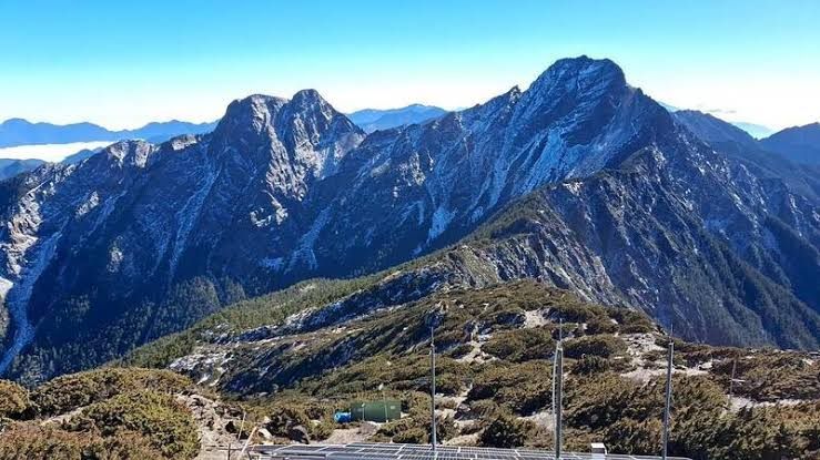
Mount Kinabalu, at 4,095 m the highest mountain in Malaysia and on the island of Borneo, rises from the rainforests of Kinabalu Park in Sabah, Malaysian Borneo. It is not a volcano: the summit is a young granite pluton, intruded some ten million years ago and exposed by erosion, that is still being lifted by about five millimetres a year — which makes it one of the youngest and fastest-rising major mountains on Earth. Above the 3,000 m mark the bare rock dome of Low's Peak opens onto sweeping views over Borneo and, on clear mornings, out to the South China Sea. Kinabalu is a biological treasure house: Kinabalu Park was Malaysia's first UNESCO World Heritage Site, inscribed in 2000, and the mountain supports thousands of plant species, hundreds of orchids, and an extraordinary array of pitcher plants and rhododendrons, alongside the giant Rafflesia. To the Kadazan-Dusun peoples it is sacred, a resting place of spirits; the name is often traced to "Aki Nabalu", meaning "the revered place of the dead".
How to use
For hiking & outdoor
Use the 3D view to read ridgelines, relief and the overall shape of the terrain before a trip. It is a static elevation model for reference only; it is not live navigation, routing or safety guidance.
For 3D printing
Download the model as STL, OBJ, DAE or Rhino 3DM and open it in your slicer or CAD tool. Files carry terrain geometry only; printability, scale and mesh quality depend on how you slice them and are not guaranteed here.