Mayon Volcano 3D Terrain Model
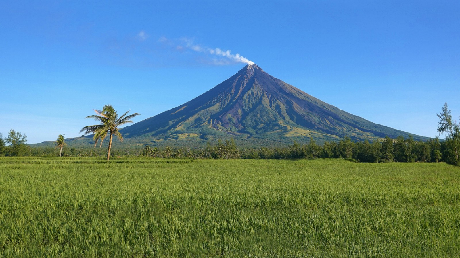
The Philippines' most active volcano at 2462 m, renowned for its perfect cone. Export Mayon as a printable STL, OBJ, DAE or Rhino 3DM file for free.
- Coverage
- Albay, Philippines
- Coordinates
- 13.25°N 123.69°E
- Model area
- ≈ 122 km²
- Formats
- STL · OBJ · DAE · 3DM
- Resolution
- 30 m
© OpenFreeMap · © OpenStreetMap
About this place
Mayon Volcano, also called Mount Mayon, is an active stratovolcano in the province of Albay, in the Bicol Region of the Philippines, on the island of Luzon. Rising to about 2,462 m, it is the country's most active volcano and is celebrated for its near-perfectly symmetrical conical shape, often described as the world's most perfect volcano cone. It stands on the Pacific Ring of Fire, and its frequent, sometimes violent eruptions have repeatedly threatened nearby towns; the great eruption of 1814 buried the town of Cagsawa, leaving only the church bell tower standing. The volcano and its immediate surroundings are protected as the Mayon Volcano Natural Park, and Legazpi City is the main gateway for viewing it. In local folklore, Mayon is tied to the legend of the maiden Daragang Magayon.
How to use
For hiking & outdoor
Use the 3D view to read ridgelines, relief and the overall shape of the terrain before a trip. It is a static elevation model for reference only; it is not live navigation, routing or safety guidance.
For 3D printing
Download the model as STL, OBJ, DAE or Rhino 3DM and open it in your slicer or CAD tool. Files carry terrain geometry only; printability, scale and mesh quality depend on how you slice them and are not guaranteed here.