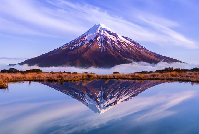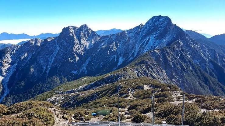
Aoraki / Mount Cook 3D Terrain Model
Aoraki / Mount Cook, the highest peak of New Zealand's Southern Alps. Export it as a printable STL, OBJ, DAE or Rhino 3DM file for free.
- Coverage
- Canterbury, New Zealand
- Coordinates
- 43.58°S 170.16°E
- Model area
- ≈ 269 km²
- Formats
- STL · OBJ · DAE · 3DM
- Resolution
- 30 m
© OpenFreeMap · © OpenStreetMap
About this place
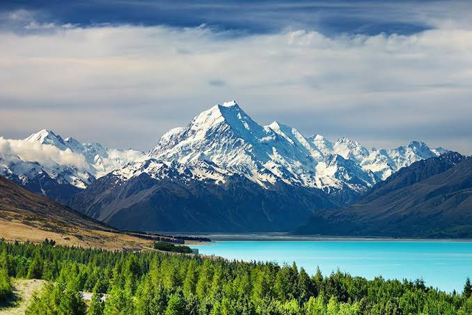
Aoraki / Mount Cook is the highest mountain in New Zealand, rising to 3,724 m in the Southern Alps of the South Island. The Māori name Aoraki refers to the ancestor of the Ngāi Tahu people, while the English name honours Captain James Cook. The peak sits within Aoraki / Mount Cook National Park, part of the Te Wāhipouna o Te Waipounamu (South West New Zealand) UNESCO World Heritage Site, and is surrounded by the country's largest glaciers, including the Tasman and Hooker. It towers above glacial lakes such as the vivid turquoise Lake Pukaki, and has long been a training ground for New Zealand mountaineers, including Sir Edmund Hillary.
How to use
For hiking & outdoor
Use the 3D view to read ridgelines, relief and the overall shape of the terrain before a trip. It is a static elevation model for reference only; it is not live navigation, routing or safety guidance.
For 3D printing
Download the model as STL, OBJ, DAE or Rhino 3DM and open it in your slicer or CAD tool. Files carry terrain geometry only; printability, scale and mesh quality depend on how you slice them and are not guaranteed here.