Mount Rainier 3D Terrain Model
The glaciated stratovolcano of Mount Rainier in Washington, USA. Export it as a printable STL, OBJ, DAE or Rhino 3DM file for free.
- Coverage
- Washington, USA
- Coordinates
- 46.86°N 121.75°W
- Model area
- ≈ 323 km²
- Formats
- STL · OBJ · DAE · 3DM
- Resolution
- 30 m
© OpenFreeMap · © OpenStreetMap
About this place
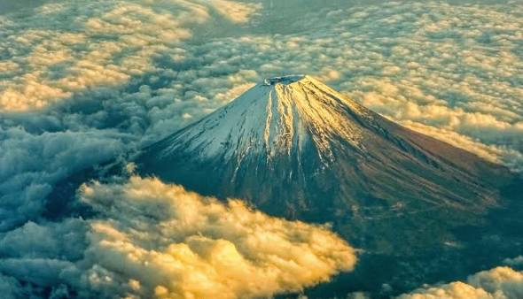
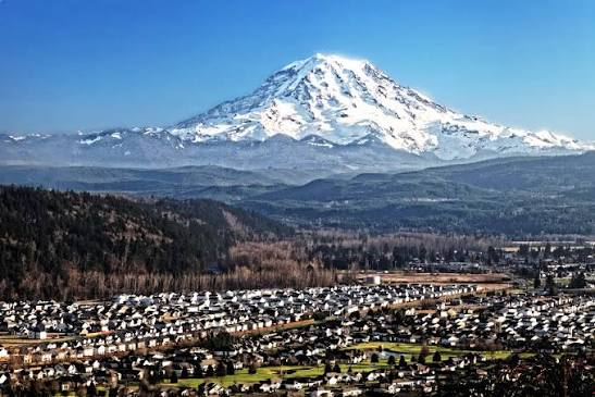
Mount Rainier is the highest peak in Washington State and the Cascade Range, rising to 4,392 m just southeast of Seattle and Tacoma. It is a massive active stratovolcano and the most heavily glaciated peak in the contiguous United States, crowned by about two dozen named glaciers such as the Carbon and Emmons. Its subalpine meadows burst with wildflowers in summer. The mountain was established as a national park in 1899, the fifth in the country, and is known to the Puyallup people as Tahoma. On clear days its snow-white cone dominates the skyline of the Pacific Northwest.
How to use
For hiking & outdoor
Use the 3D view to read ridgelines, relief and the overall shape of the terrain before a trip. It is a static elevation model for reference only; it is not live navigation, routing or safety guidance.
For 3D printing
Download the model as STL, OBJ, DAE or Rhino 3DM and open it in your slicer or CAD tool. Files carry terrain geometry only; printability, scale and mesh quality depend on how you slice them and are not guaranteed here.