Rwenzori Mountains 3D Terrain Model
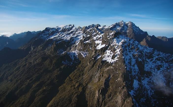
The Rwenzori Mountains on the Uganda–DR Congo border, a glaciated equatorial range rising to 5,109 m at Margherita Peak. Export it as a printable STL, OBJ, DAE or Rhino 3DM file for free.
- Coverage
- Uganda / DR Congo border
- Coordinates
- 0.35°N 29.92°E
- Model area
- ≈ 593 km²
- Formats
- STL · OBJ · DAE · 3DM
- Resolution
- 30 m
© OpenFreeMap · © OpenStreetMap
About this place
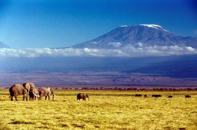
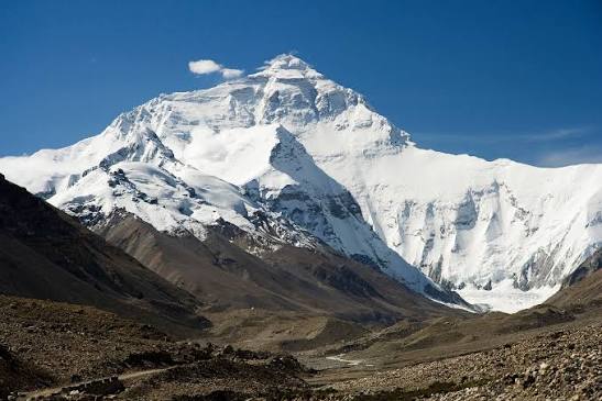
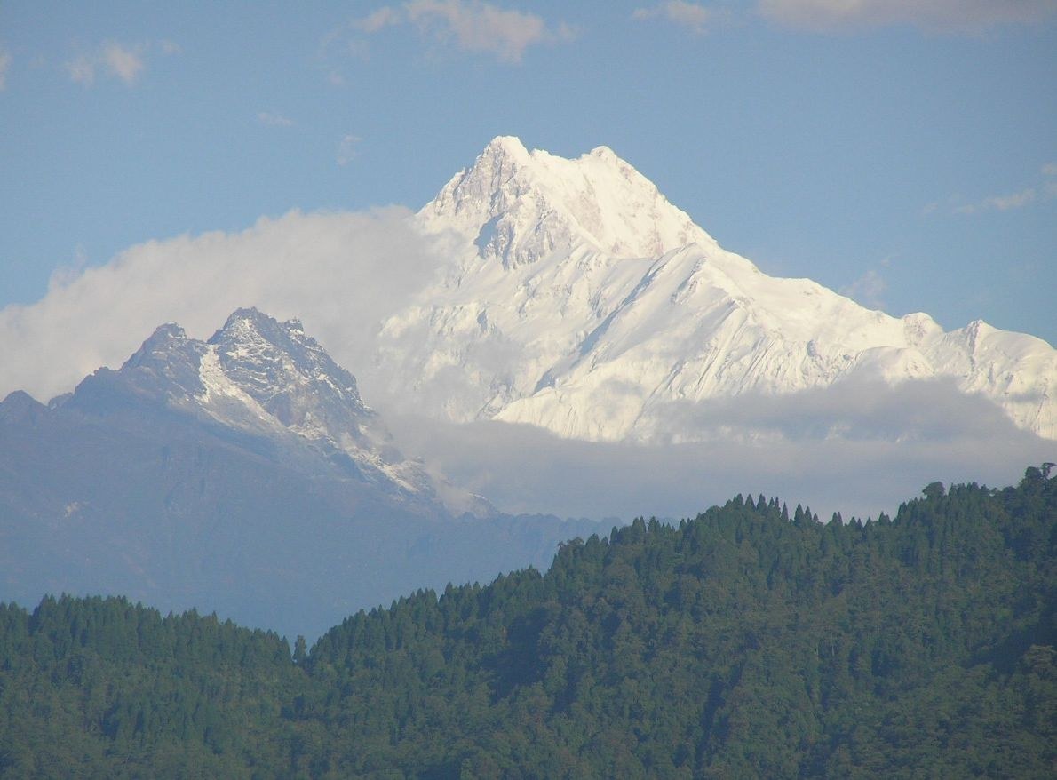
The Rwenzori Mountains, also called the Mountains of the Moon, are a glaciated range on the border of Uganda and the Democratic Republic of the Congo, rising to 5,109 m at Margherita Peak on Mount Stanley — the third-highest summit in Africa. Unlike the solitary volcanic cones of Kilimanjaro and Mount Kenya, the Rwenzori is a fault-block range thrown up along the Albertine Rift, some 120 km long and 65 km wide, whose wet, mist-wrapped valleys carry bamboo, heather and the famous giant lobelias and groundsels. Because the range stands squarely on the equator yet reaches above 5,000 m, it holds one of the very few equatorial glaciers in the world, and those ice fields are shrinking fast. The range gives its name to Uganda's Rwenzori Mountains National Park, inscribed as a UNESCO World Heritage Site in 1994, and in the Runyoro language "ruwenzori" means rain-maker — an apt title for one of Africa's wettest places. Ptolemy's second-century account of the Mountains of the Moon as the source of the Nile gave the range its romantic alternative name.
How to use
For hiking & outdoor
Use the 3D view to read ridgelines, relief and the overall shape of the terrain before a trip. It is a static elevation model for reference only; it is not live navigation, routing or safety guidance.
For 3D printing
Download the model as STL, OBJ, DAE or Rhino 3DM and open it in your slicer or CAD tool. Files carry terrain geometry only; printability, scale and mesh quality depend on how you slice them and are not guaranteed here.