Table Mountain 3D Terrain Model
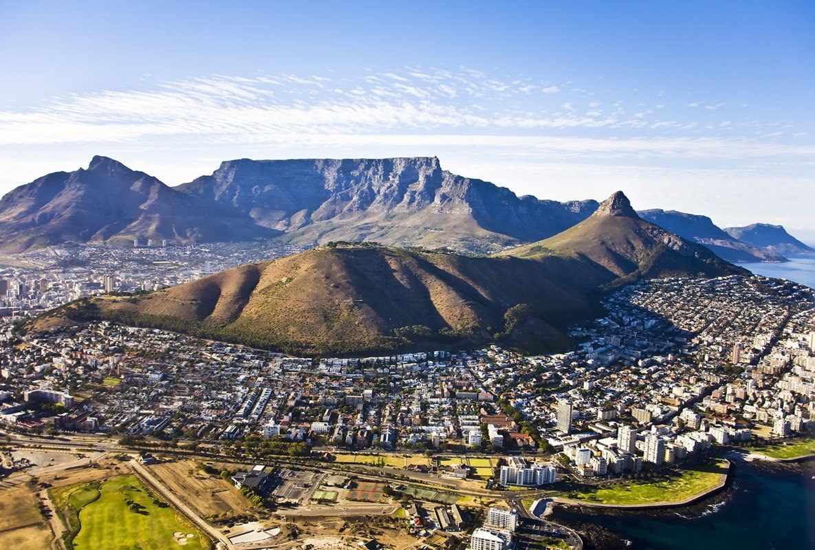
Table Mountain above Cape Town, South Africa, a flat-topped sandstone plateau rising to 1086 m. Export it as a printable STL, OBJ, DAE or Rhino 3DM file for free.
- Coverage
- Western Cape, South Africa
- Coordinates
- 33.96°S 18.42°E
- Model area
- ≈ 51 km²
- Formats
- STL · OBJ · DAE · 3DM
- Resolution
- 30 m
© OpenFreeMap · © OpenStreetMap
About this place
Table Mountain is a flat-topped sandstone massif that rises to 1086 m above Cape Town in South Africa's Western Cape, forming the city's most recognisable landmark above Table Bay and the Atlantic seaboard. Its near-level summit, roughly three kilometres wide, is the highest point of the Cape Peninsula and is crowned by Maclear's Beacon, a stone cairn raised in 1865 for the arc-of-meridian survey. A rotating cable car has climbed from the lower station since 1929, and the classic view of the plateau draped by the "tablecloth" — a roll cloud that spills over the escarpment — is one of the country's signature sights. The mountain lies within Table Mountain National Park, part of the UNESCO-listed Cape Floral Region Protected Areas, and its slopes hold more than 2,200 plant species, many of them endemic fynbos. In 2011 it was voted one of the New7Wonders of Nature.
How to use
For hiking & outdoor
Use the 3D view to read ridgelines, relief and the overall shape of the terrain before a trip. It is a static elevation model for reference only; it is not live navigation, routing or safety guidance.
For 3D printing
Download the model as STL, OBJ, DAE or Rhino 3DM and open it in your slicer or CAD tool. Files carry terrain geometry only; printability, scale and mesh quality depend on how you slice them and are not guaranteed here.